Wildfire risk map in Spain
A home's wildfire risk is not about the municipality — it is about how close the property sits to forest mass, whether the land around it actually burned in recent years, and whether there is fire burning right now. Hogarfax combines all three by satellite: NASA active-fire hotspots updated several times a day, Copernicus burnt-area perimeters and official forest cartography — over the exact parcel.
Why the distance to forest is what matters
Most wildfire information you find is municipal: how many fires a town has had. That is useful context, but it does not tell you whether a specific home is exposed. Two houses in the same town can be worlds apart — one buried in a dense urban core, the other backing straight onto a pine forest.
What really drives a home's exposure is the wildland-urban interface: the distance from the property to the nearest forest mass, and how flammable that vegetation is. The closer the forest and the more combustible it is, the higher the risk — regardless of the town's average.
Hogarfax measures exactly that for the exact parcel — and then goes further: it checks whether the land around it actually burned in the last 5 years (Copernicus EFFIS burnt-area perimeters) and whether NASA satellites are detecting active fire nearby right now (NASA FIRMS, refreshed several times a day). History tells you what a zone was like; satellites tell you what is happening to that plot today.
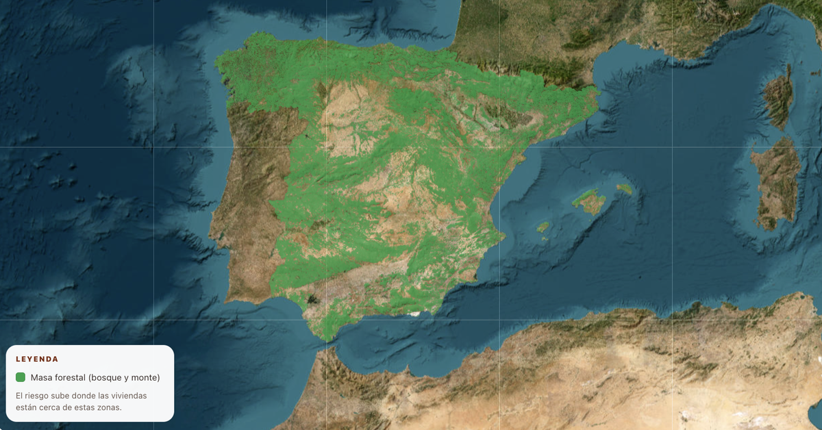
See the live map: active hotspots and burnt areas
Active-fire hotspots (NASA FIRMS) and real burnt-area perimeters (Copernicus EFFIS), refreshed several times a day — plus live official news and weather by municipality.
Open the live dashboardHow we read a home's wildfire risk
We cross the exact location of each property with four independent official sources — forest cartography, real burnt-area perimeters, satellite active-fire detections and official statistics. No other property analysis tool in Spain combines all four. Each signal can only raise the alert, never lower it.
Distance to forest mass
The base driver. Is the parcel inside, right against, or comfortably away from forest — and how flammable is that vegetation? The wildland-urban interface sets the base risk (Forest Map of Spain · MITECO).
Real recent fires
The perimeters of areas actually burnt in the last 5 years, mapped by satellite (Copernicus EFFIS). If the plot sits inside a burnt area or a fire came close, the report says so with date and hectares.
Active fire, right now
Thermal hotspots detected by NASA's VIIRS and MODIS satellites in the last few days (NASA FIRMS), refreshed several times a day. If there is fire burning near the home, you see it — as pulsing red markers.
Local fire history
The area's past fires (EGIF · MITECO) add context and can modulate the reading, but never replace the proximity or live signals.
Is there forest — or fire — near the home you want?
Don't stop at the national view. Check the exact parcel by address or cadastral reference: forest distance, recent burnt areas, live hotspots and 25+ other risk factors, in seconds.